3D terrain generator
TOPOLUMA builds 3D terrain from global and national elevation models. Look at the site in 3D in the browser, set the mesh and the vertical exaggeration, and download a model for CAD, BIM, rendering or a 3D printer.
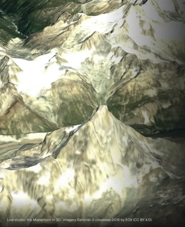
What you get
- 3D in the browser
- The terrain in 3D with OpenStreetMap buildings, roads and water, or with satellite imagery draped over it, at true scale by default.
- A mesh you control
- Mesh resolution from 2 m to 50 m and vertical exaggeration from 1× to 5× for the exported terrain.
- Ready to print
- A watertight STL with a solid base of the thickness you set, scaled to the print width you choose.
- Ready for CAD and BIM
- OBJ with named objects (Z-up or Y-up), DXF 3D faces, and IFC 4 with triangulated terrain and a map conversion to UTM.
Who uses it, and for what
- Site models. A physical model of the site for a review or a competition, printed from STL.
- Renders and animations. Real terrain under a design in Blender, Rhino or SketchUp, from OBJ with buildings and trees as separate objects.
- BIM context. The ground and surrounding masses in Revit or ArchiCAD from a georeferenced IFC 4.
- Teaching and outreach. A real mountain, valley or coastline in 3D for a class, a talk or a poster.
How to do it
- Search the place and draw the area.
- Turn on 3D view to read the terrain, and keep the 3D terrain surface on in Layers.
- Set the mesh resolution, the exaggeration and, for STL, the base thickness and print width.
- Export OBJ, STL, DXF 3D or IFC.
Limits to know
The model follows the elevation data, so it is smoothed at the resolution of the source (about 30 m in most places). A 2 m mesh over 30 m data gives a smoother surface, not more detail. Buildings are extruded footprints with mapped or default heights. More on the data and accuracy page.
Questions
- Where does the 3D terrain come from?
- From Mapterhorn, an open terrain tile set: Copernicus GLO-30 (about 30 m) everywhere on land, and open national elevation models, down to about 1 m, where they exist. The data page lists what is used where.
- Can I 3D print the terrain?
- Yes. STL is exported as a watertight solid with a base below the lowest point, and you can set the printed size of the longest side in millimetres (20 to 2,000 mm). The 3D printing guide covers exaggeration, base and slicer settings.
- Which format should I use for Blender, Rhino or SketchUp?
- OBJ, in metres, with terrain, buildings and trees as named objects. Choose Z-up for CAD programs and Rhino, Y-up for Blender, 3ds Max and Unity.
- What does vertical exaggeration do?
- It multiplies the heights in the exported model by 1× to 5×, which makes gentle relief readable in a print or a render. Keep it at 1× for anything you measure, and for BIM.
- Are buildings included?
- If the Buildings layer is on, OpenStreetMap footprints are extruded to their mapped height or number of levels, or to the default height you set for untagged buildings.